
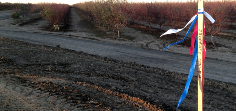
A Record of Survey is prepared and sealed by a Licensed Land Surveyor, such as the ones at Bedrock Engineering. Bedrock’s professional surveyors can perform and submit Records of Survey, an official map that identifies the boundaries of land and real property, and the location or placement of other improvements or monuments.A Record of Survey is an official map that sites new and existing monuments in order to demarcate a boundary and also describes the way that boundary was determined. The Record of Survey Map must meet certain technical requirements as defined by code section 8764 of the Business and Professions code of the Professional Land Surveyors Act. The Record of Survey map should show the monuments recovered in the field, the position of those monuments and how they relate to the record deed descriptions or other maps in the area. The Record of Survey map should also show how the Land Surveyor determined where the property boundary is located. In addition, a Record of Survey can include details about any easements that affect the property, and other items may also be shown at the client’s request.
Before commencing a Record of Survey, the client should provide the Land Surveyor with the current deed for the property and in most cases a current preliminary Title Report. The Title Report is required to ensure that the boundaries being surveyed are the current boundaries of the parcel.
When completed, Bedrock will submit the Record of Survey for review to the local County Surveyor’s Office; a fee is usually required. Upon approval, Bedrock will file the Record of Survey Map with your local County Recorder’s Office for permanent recordation. The boundary lines delineated on the Record of Survey are then the generally accepted boundaries for use in design documents and for building new fences.