
The Professional Land Surveyors at Bedrock have years of experience producing and filing Parcel Maps. A parcel map is a recorded map used to illustrate a division of land commonly-known as a “lot split.” Residential Parcel Maps are restricted to the breakup of a parcel into not more than four residential parcels, a subdivision of four lots or less, or four condominiums or less.
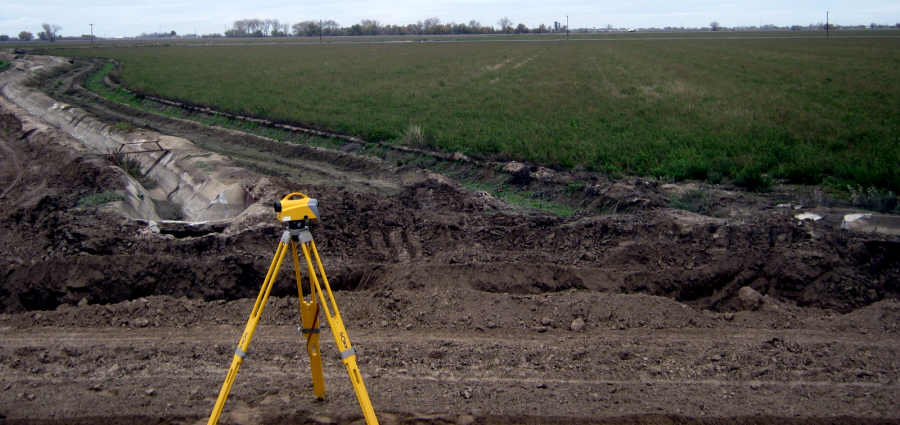
The parcel map process consists of a tentative and final map. The tentative map shows the boundary and topographic information of the area being subdivided. Upon approval of the tentative map, the final parcel map is submitted showing the property boundary resolution, the parcels being subdivided along with any existing or proposed easements and the points that were found or set during the survey.
The parcel map process consists of a tentative and final map. The tentative map shows the boundary and topographic information of the area being subdivided. Upon approval of the tentative map, the final parcel map is submitted showing the property boundary resolution, the parcels being subdivided along with any existing or proposed easements and the points that were found or set during the survey.