
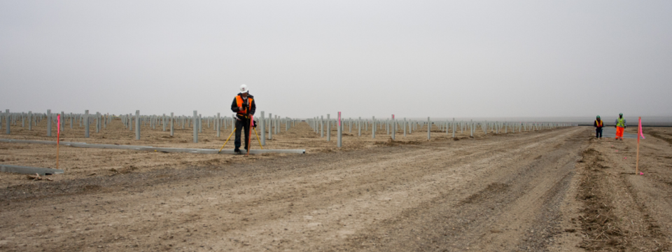
The experienced Professional Land Surveyors at Bedrock can assist you in any leveling survey your project requires. Leveling is a branch of surveying in which the purpose is to establish or verify or measure the height of specified points.
Leveling can be for one of two purposes: (1) to find the elevations of given points with respect to a given or assumed datum; this is necessary in order to enable a project to be designed, or (2) to establish points at a given or assumed datum; this is required in the setting out of all kinds of engineering works. Levelling deals with measurements in a vertical plane. In order to best assess subsidence issues, precise leveling is used. It is the most accurate way to determine elevations over long distances.
In leveling, the relative or absolute elevations of different objects or points on the earth’s surface are determined. This is achieved by taking measurements in the vertical plane. Using survey-grade equipment, extremely accurate elevations can be measured even across long distances.
The success of projects from major buildings, highways, dams, canals, water supply and sanitary schemes, all depend upon accurate determinations of elevations. The execution of civil engineering works such as these require the combination of experience and technical knowledge that Bedrock’s professionals have. At Bedrock, our Professional Land Surveyors will perform leveling surveys to the utmost accuracy for the successful design and execution of your project.