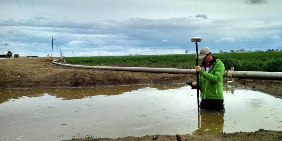
At Bedrock, our Professional Land Surveyors perform hydrographic surveys to measure the depth and bottom configuration of water bodies. Bedrock has the equipment, software and expertise in house to accomplish these demanding surveys. A Hydrographic Survey measures the depth of a body of water such as a lake, river, canal or pool, in order to define the bottom surface. Sometimes called a Bathymetric Survey, this type of survey also maps the underwater features of the body of water.
Bathymetric surveys may be used for many different types of research including flood inundation, contour of streams and reservoirs, leakage, scour and stabilization, water-quality studies, dam removal, biological and spill, and storage and fill in reservoirs and ponds.
Collected data may be used for:
- Developing hydrographic models for floodplain analysis
- Helping marina owners plan for dredging and dock maintenance activities
- Assisting riparian land-owners with dock and bulkhead permit applications
- Helping irrigation districts and canal companies assess capacity and design new facilities