
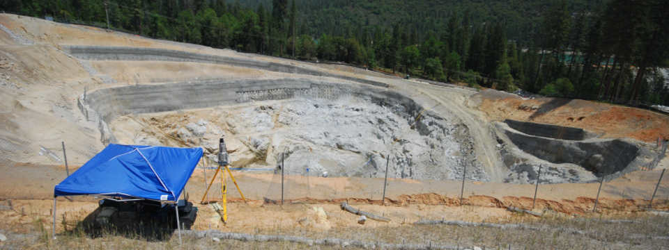
Aerial mapping establishes the precise horizontal and vertical position of any natural or man-made features on a parcel of land, i.e. features of the landscape. Called Aerial Photo Control, these points need to be established prior to beginning an aerial photo mapping project. Bedrock Engineering can provide the services to layout targets (flight panels) and to obtain coordinates and elevations of the targets. By utilizing our RTK – GPS survey equipment, Aerial Photo Control Surveys can be performed very efficiently.
Bedrock Engineering will provide the targets necessary to perform your aerial mapping projects. Deliverables include a coordinate list along with elevation of the identified panel points according to the desired vertical and horizontal datum. We can provide the services to layout targets (flight panels) and to obtain coordinates and elevations to said points. The results of the Aerial Photo Control Survey is a list of the coordinates, over a photo map or quad map. Upon request we can provide pictures and a Control Point description of key control points to be utilized in ground control for future survey work.
Bedrock Engineering will provide the targets necessary to perform your aerial mapping projects. Deliverables include a coordinate list along with elevation of the identified panel points according to the desired vertical and horizontal datum. We can provide the services to layout targets (flight panels) and to obtain coordinates and elevations to said points. The results of the Aerial Photo Control Survey is a list of the coordinates, over a photo map or quad map. Upon request we can provide pictures and a Control Point description of key control points to be utilized in ground control for future survey work.